
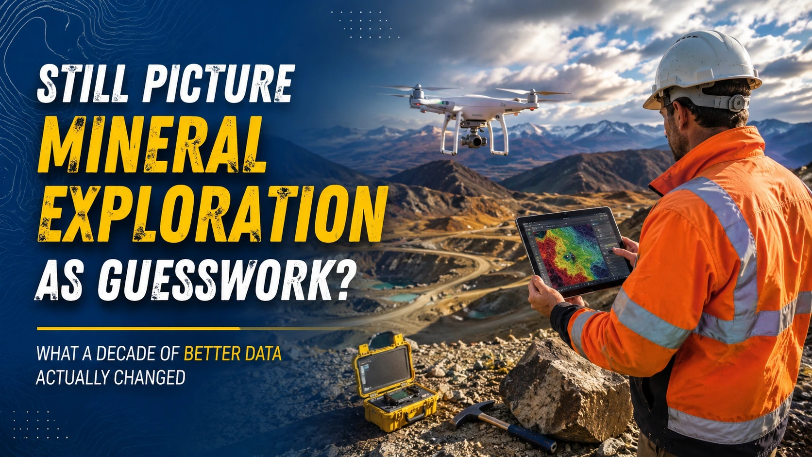
Ask someone outside the industry what mineral exploration looks like, and the image is often decades out of date: a lone geologist with a rock hammer, a hunch about where ore might sit, and a drill rig sent out on faith. That picture was never entirely accurate, but it has become especially misleading over the last ten years, as the field has quietly rebuilt itself around data collection methods that would have seemed like science fiction to the exploration teams of the early 2000s. The gap between public perception and current practice has widened to the point where correcting it matters, not just for the industry’s reputation but for understanding how responsibly modern exploration is actually conducted.
The Myth of the Educated Guess
Perhaps the most persistent misconception is that exploration decisions still come down to educated guesswork, a mix of geological intuition and hoping the drill hits something worthwhile. A decade ago, that characterization had more truth to it than exploration companies liked to admit. Teams relied heavily on historical records, surface sampling, and geophysical surveys that took weeks to plan and months to interpret. Drilling programs were expensive commitments made with incomplete pictures of the subsurface.
That reality has changed substantially. Today’s exploration teams build layered digital models of a site before a single meter of core is drilled, combining magnetic, gravimetric, and topographic data into three-dimensional representations that highlight structural targets with far more confidence than surface observation alone ever could. The guesswork has not disappeared entirely, geology retains an element of interpretation, but the informed decision-making that precedes drilling now rests on a foundation of data that simply did not exist in comparable quality or volume ten years ago.
The Assumption That Aerial Data Is a Luxury Add-On
Another common misunderstanding treats aerial and remote data collection as a nice-to-have rather than a core part of the exploration workflow. This assumption made more sense when aerial surveys meant chartering a fixed-wing aircraft for a regional flyover, an expensive undertaking reserved for the largest projects with the deepest budgets. Smaller exploration companies simply skipped that step and relied on ground crews and legacy maps instead.
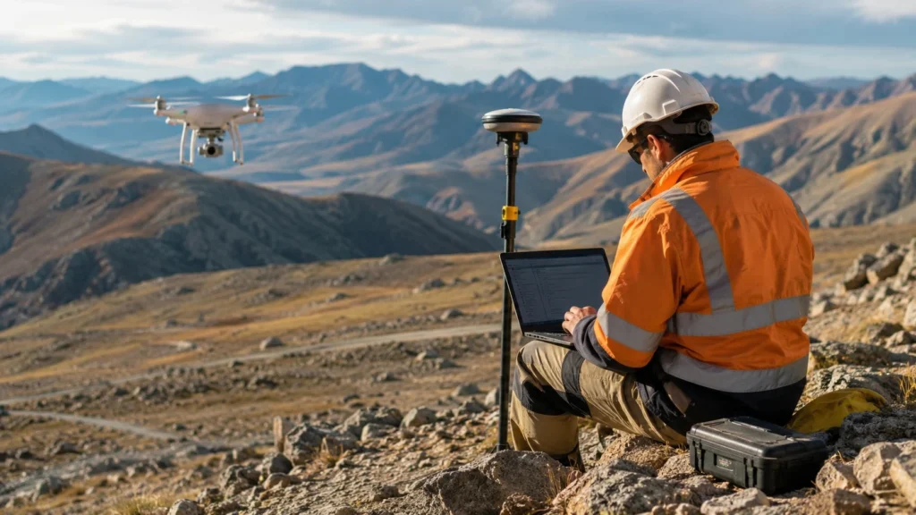
The shift over the past decade has made aerial data collection accessible to exploration operations of nearly every size. Where a project once needed months of lead time and a substantial budget line to commission aerial coverage, teams can now arrange drone surveying services for a specific target area in a fraction of the time and cost, producing high-resolution topographic and multispectral data that feeds directly into geological models. What used to be a luxury reserved for major operators has become a routine part of early-stage exploration planning, and that democratization has changed which companies can compete on data quality rather than just capital.
The Belief That More Data Means Slower Decisions
There is a related misconception worth addressing directly: that collecting more data necessarily slows down decision-making. Skeptics sometimes assume that adding LiDAR sweeps, hyperspectral imaging, and geochemical sampling to a project simply creates a backlog of information that takes longer to process than the old methods ever did. A decade ago, this concern held some water. Processing pipelines were manual, software was fragmented, and turning raw survey data into an actionable map could take months.
Cloud-based processing and purpose-built geospatial software have largely closed that gap. Field data can now be uploaded, processed, and integrated into a working model within days rather than months, which means exploration teams are not choosing between thoroughness and speed the way they once had to. The Bureau of Labor Statistics tracks employment trends across the geosciences, and the steady growth in roles tied to geospatial analysis reflects how much of this processing work has become a specialized function in its own right, distinct from traditional fieldwork but essential to turning collected data into usable results quickly.
The Idea That Exploration Technology Has Plateaued
A quieter misconception, but a consequential one, is the assumption that exploration technology reached a stable plateau sometime in the last decade and has not meaningfully advanced since. This view tends to come from people who paid close attention to the industry around 2015, when drone-based surveying and LiDAR mapping were genuinely novel additions to the exploration toolkit, and who have not tracked developments since.
In practice, the tools themselves have kept evolving. Sensor payloads have become lighter and more precise, battery life has extended flight windows in remote terrain, and the software interpreting the resulting data now incorporates pattern recognition that flags structural anomalies a human reviewer might overlook on a first pass. None of this represents a single dramatic leap so much as a steady accumulation of refinements, but the cumulative effect over ten years is substantial. A survey flown and interpreted today produces a materially different quality of output than one from even five years ago, let alone ten.
What the Ten-Year Shift Actually Represents
Taken together, these corrections point to a broader truth about the field: mineral exploration has not become more speculative or opaque over the last decade, it has become more disciplined and transparent. The tools that once separated well-funded major operators from smaller exploration companies have become widely available, and the timelines that once forced teams to choose between speed and thoroughness have compressed without sacrificing rigor. None of this eliminates the inherent uncertainty of exploring the subsurface. Geology will always involve interpretation, and no dataset removes every unknown before a drill turns. But the exploration teams operating today are working from a foundation of aerial imagery, geophysical modeling, and processed field data that their counterparts a decade ago simply did not have access to, and that shift deserves more public recognition than the outdated image of guesswork and rock hammers currently allows.
Understanding this progression matters for anyone evaluating exploration projects, whether as an investor, a landowner, or simply an observer trying to make sense of how mineral resources get identified before development ever begins. The field has spent the last ten years quietly closing the gap between what was technically possible and what was practically affordable, and the result is a discipline that looks and functions very differently from how it is still often described.